Technology & Innovation
LJB’s Technology & Innovation team leverages the best technology solutions to provide value for project planning, management, design, and construction.
Technology Solutions
UAS Services
- Aerial mapping
- Inspection
- Photogrammetry
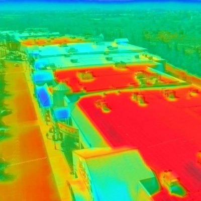
- Thermal imaging
GIS
- Asset management
- Planning
- Inventories
- Custom Solutions
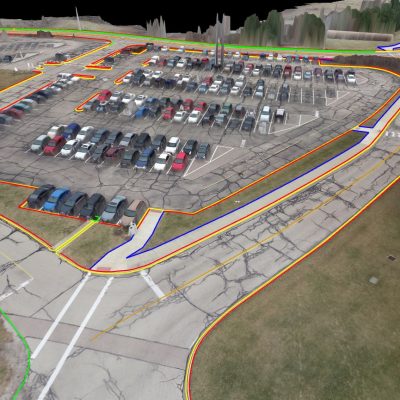
3-D Reality Capture
- Digital Twin Modeling
- Laser scanning
- Matterport
LJB Services
UAS Services
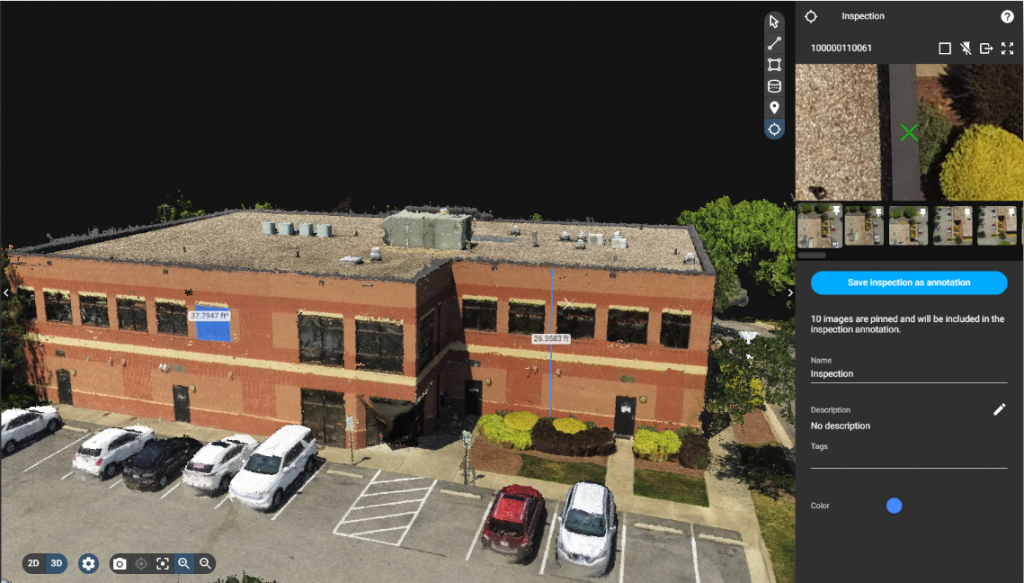
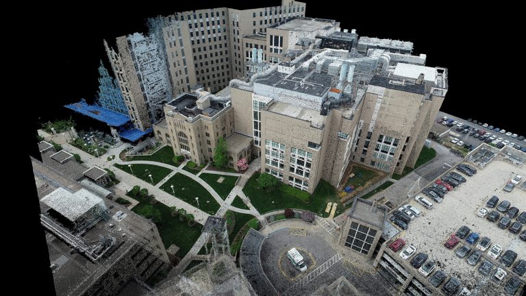
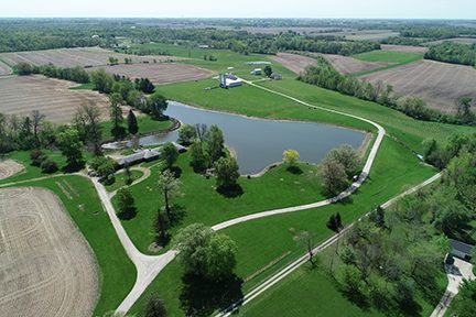
LJB uses unmanned aerial systems (UAS), often called drones, to safely and efficiently collect valuable data. The projects that apply UAS technology range from civil engineering, transportation engineering, fall protection systems design, safety assessments, and inventory services. These aircrafts employ an array of cameras, sensors, thermal technologies, and LIDAR to collect unique data for 3-D imagery and deeper insights into client needs.
Our UAS team:
- Combined operation totaling more than 1000 hours
- Extensive experience as both operators and instructors
- All LJB pilots hold Part 107 Certificates
- Uses both vertical take-off and landing (VTOL) and fixed-wing hybrid aircraft, allowing us to deploy these systems in a variety of environments
Geographic Information Systems (GIS)
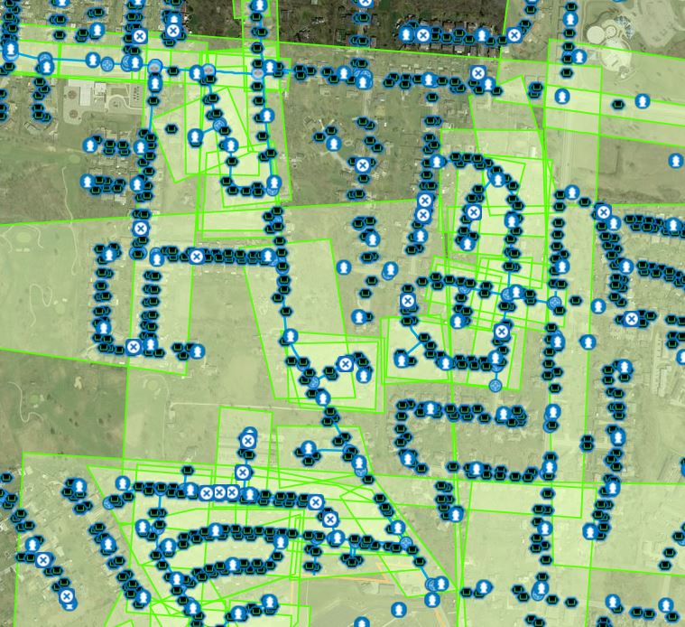
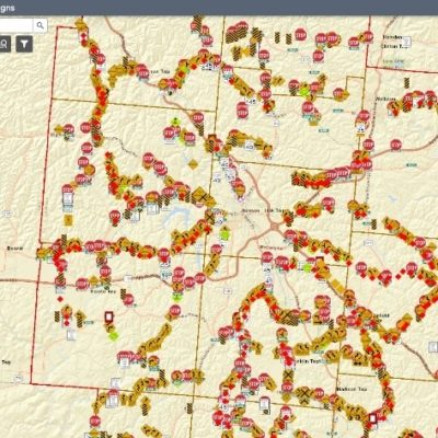
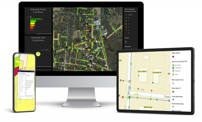
Our GIS team uses Esri ArcGIS to organize your data and develop smart solutions to connect people to meaningful information. We provide planning, inventory, and asset management solutions for a variety of client types and markets.
Planning
- Analysis & optimization
- Emergency services
- Strategic planning
- ADA compliance
- Economic development
- Pavement condition assessment
- Route analysis
- Parking
Investments & Asset Management
- Stormwater
- Electric
- Water
- Sewer
- Signage
- Centerline inventory
- Guardrail
- Bridges
- Culverts
- Traffic signals
- Risk management
- Abatement planning
- Document management
- Work order management
- PPE inventory
Custom Solutions
- Mobile inspection forms
- Dashboards
- Automated notifications/alerts
- Reporting
- Data migration
- GIS startup
Municipal GIS Services
Better data leads to better decisions for your community. LJB’s experience and expertise in asset management helps you stay up-to-date, proactive, and ready for anything.
3-D Reality Capture
LJB uses photogrammetry and laser scanning technologies to help organizations quickly collect real-world information into a data-rich digital environment to help project stakeholders collaborate and develop solutions.
- Quickly capture a 3D model of existing conditions that can be shared via a link to project stakeholders
- A “Digital Twin” is the next best thing to being there in person
- Reduce project cost by minimizing the need for follow-up site visits to collect missing information
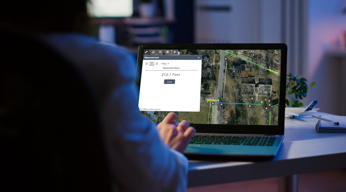
- Safely and accurately measure a 3D model from your computer without disturbing field operations
- Import 3D data into design modeling software for better coordination
- Incorporate into asset management systems
- Leverage data for due diligence, quality control and documenting as-built conditions
