Survey
At LJB, surveying is more than locating points. It’s about providing a visual image of the project and a framework for the team. With multiple seasoned survey crews in-house, LJB provides data collection, professional analysis and project support from initial fieldwork and property research to fast, accurate survey documentation.
Services
Ground Survey
- ALTA
- Boundary
- Construction staking
- Topographic
- Machine control
Aerial Survey with UAS
- Aerial mapping
- Inspection
- Photogrammetry
- Thermal imaging
3-D Reality Capture
- Digital Twin Modeling
- Laser scanning
- Matterport
LJB Services
Data Collection
Better data leads to better decision making. Taking advantage of advanced data collection and layout equipment, our survey crews provide unsurpassed professional analysis and construction layout support. These tools also allow us to minimize the risk that our personnel are exposed to and to provide our engineers with a better understanding of project environments.
Traditional
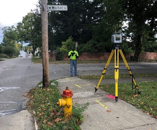
Benefits of Traditional Survey
- Most accurate form of topographical surveying and is able to provide the highest level of detail
- Required to resolve property boundaries and complete legal plats
- Best option for accurate data collection in heavily wooded areas or in restricted areas such as near airports
- Utilized to tie drone flights and GPS data to statewide location networks
Aerial
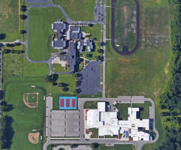
Benefits of UAS/Drones
- Access data from central location
- Collect multiple datasets at once
- Transition data to asset management system
- Minimize travel
- Improve safety for data collection
LIDAR
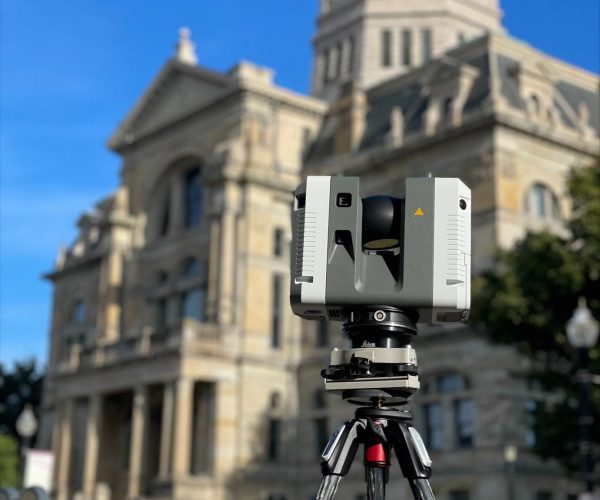
- Reduce the cost of multiple site visits to collect data
- Minimize risk of missing important information
- Assists coordination with existing conditions
- Help organizations make data-driven decisions
Advantages of Modern Survey Tools
At LJB, we combine proven surveying expertise with cutting-edge technology to deliver faster, safer, and more detailed results. Our integration of drone-based data collection and 3-D reality capture ensures that clients benefit from unmatched efficiency, precision, and insight—no matter the size or complexity of the project.
Unmanned Aerial Systems (UAS)
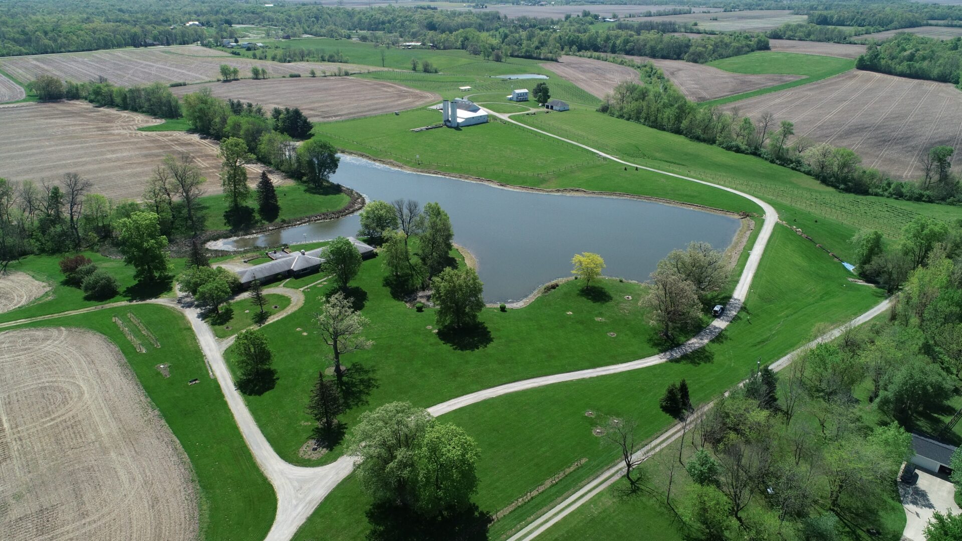
Our drone services expand what’s possible in the field, especially for projects requiring aerial visibility or coverage across large or difficult terrain. LJB’s UAS program is led by FAA-certified pilots and backed by 1,000+ hours of combined flight time.
- Efficient data collection across expansive or hazardous sites
- Multiple sensor capabilities, including LIDAR, thermal, and high-resolution imaging
- Flexible flight options with both VTOL and fixed-wing drones
- Reduced field time and increased safety by limiting on-site exposure
- Supports topographic surveys, inspections, and surface modeling
3-D Reality Capture

Our photogrammetry and laser scanning solutions create detailed 3-D models of existing conditions—offering a powerful supplement to traditional surveying methods. These “digital twins” allow teams to virtually revisit a site from any location, at any time.
- Accurate, shareable 3-D models for stakeholder communication and design integration
- Minimized need for repeat visits, thanks to comprehensive site documentation
- Enhanced measurement accuracy directly from the model
- Ideal for complex structures, building facades, and as-built documentation
- Data integration with modeling software and asset management systems
