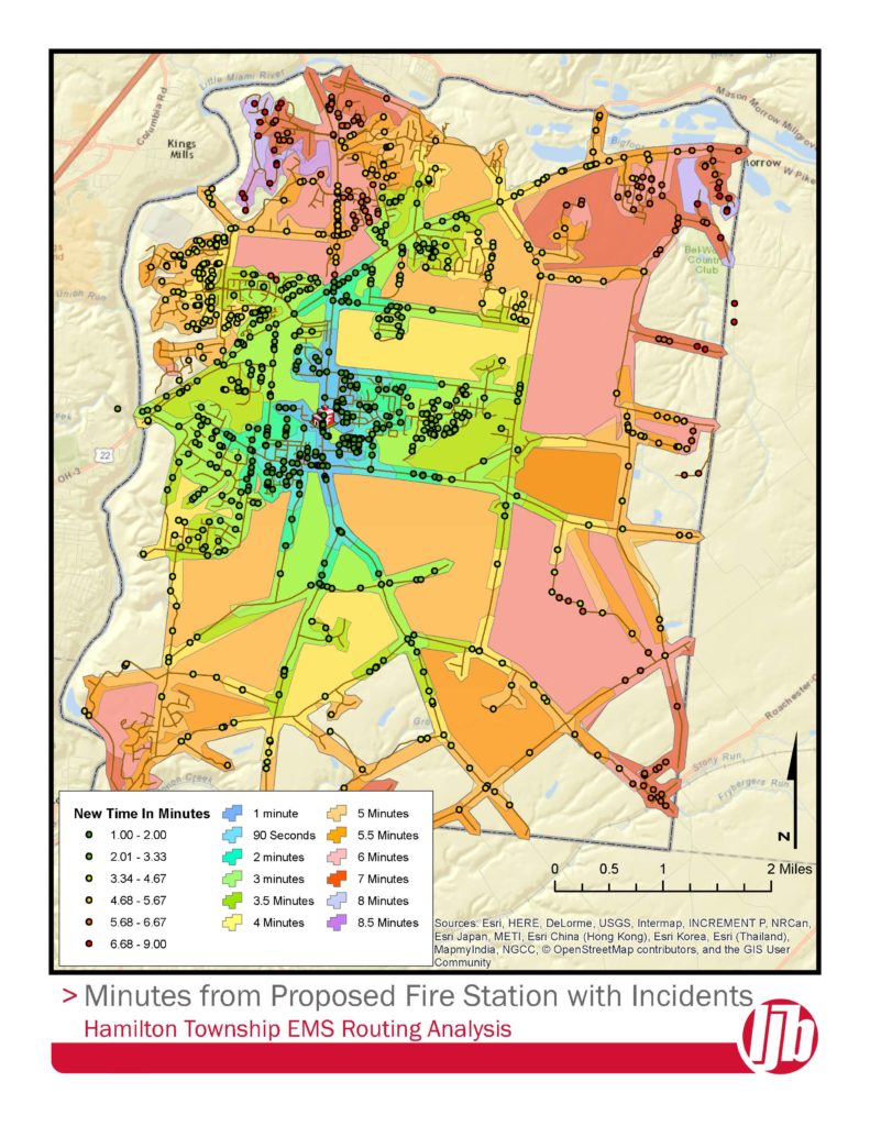
When Hamilton Township was investigating a new fire station location, LJB provided GIS mapping and route analysis to evaluate emergency call response times from existing facility locations, as well as the new proposed location. LJB used the route data to spatially locate address points to analyze the projected emergency response time for the new consolidated facility location. LJB staff applied Esri’s ArcGIS Network Analyst extension to create the route analysis and develop projected response times for each call in the data provided by the township. LJB delivered both a map and a database of response times to assist the township in deciding on a consolidated facility location, as well as potential route improvements to improve response time.
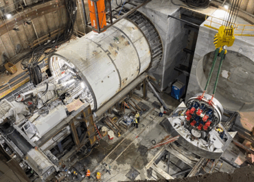
Westside Purple Line Extension, Phase 3: Rail Transit Line
Role: Tunnel Design Lead; Design Build for Contractor Client: STV Inc. Construction…
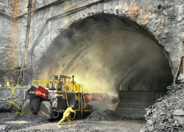
Montreal Airport Station, Transit Terminal for REM
Role: Tunnel, Shaft and Station cavern Design – Precast Concrete Liners, Connections…
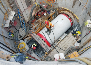
Rebecca Trunk Wastewater Main
Role: Microtunnel Designer & Construction Inspection/Administration Client: Cole Engineering Construction Cost: $43…