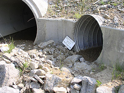
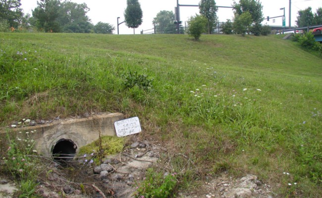
The purpose of ODOT’s MS4 inventory was to map ODOT’S storm water drainage system so that monitoring to detect and eliminate the illicit discharge of pollutants could commence, thereby meeting one of the requirements of the NPDES Phase II storm water program.
LJB’s project team was selected to perform this inventory in ODOT Districts 7, 8, and 9 which includes 24 of Ohio’s 88 counties. The LJB team examined secondary source material (historic roadway plans, USGS topographic maps, etc.) to identify potential outfall locations and inventoried the outfalls using sub-foot GPS technology.
LJB developed powerful job status monitoring tools to provide the project manager and project team with daily data-synching from any location, real time field data crew monitoring, GIS-based data collection progress monitoring, daily web-based weather monitoring and automated daily workload planning.


